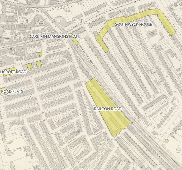
mapping
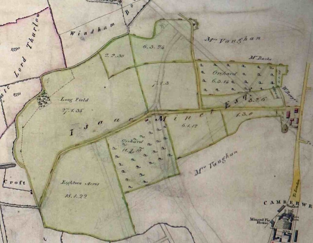
from the 1806 enclosure act (Lambeth Palace archives, PS 1/JB):
William Browne Angell estate, overlain over modern street map
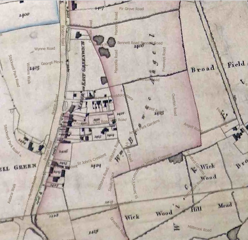
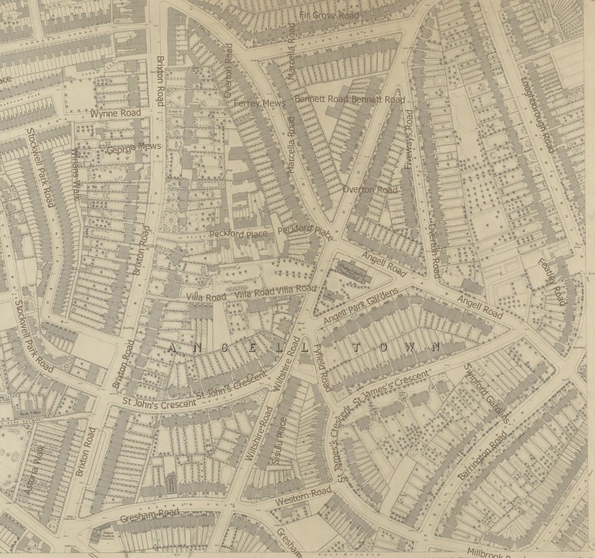
1874 town plan:
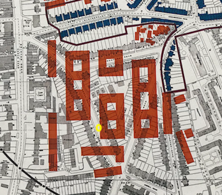
Lambeth Archives, 1974 Lambeth redevelopment plan. New Angell Town estate plan overlain over houses:
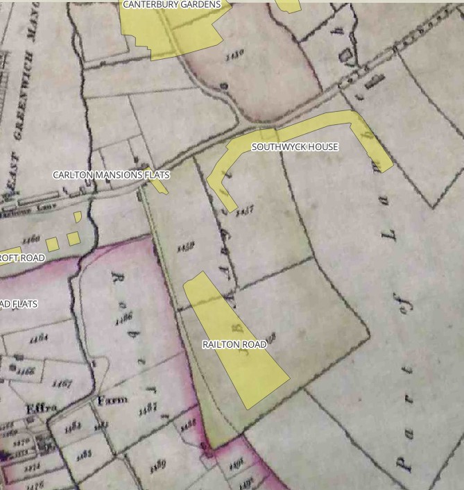
2020 council estates (yellow) and open spaces (pink and others) overlain over 1806 enclosure map:
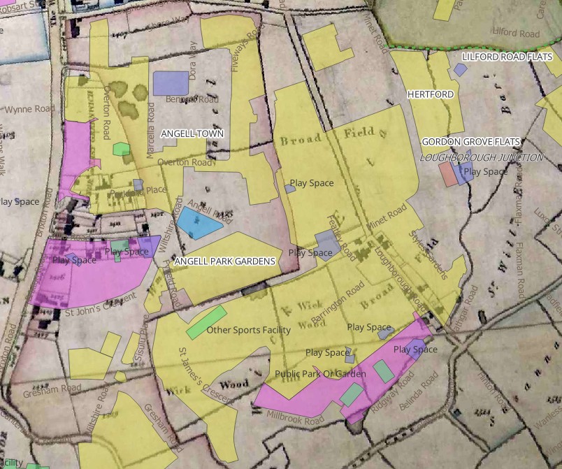
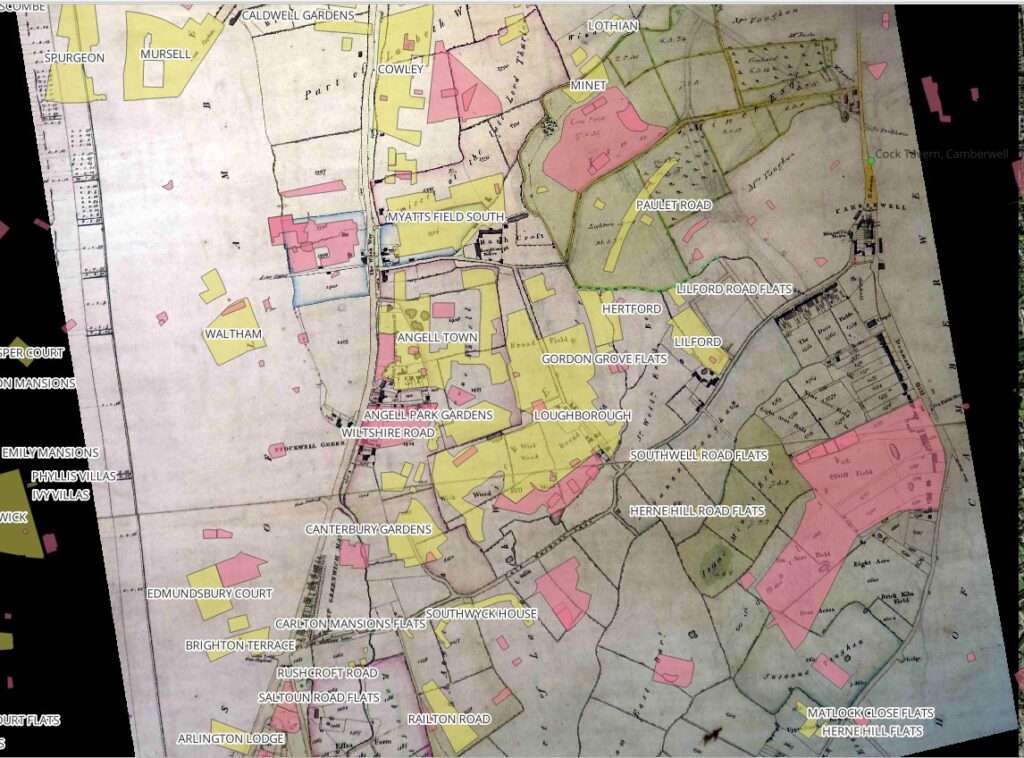
1806 enclosure map with footpath (2020 greenspace overlain):
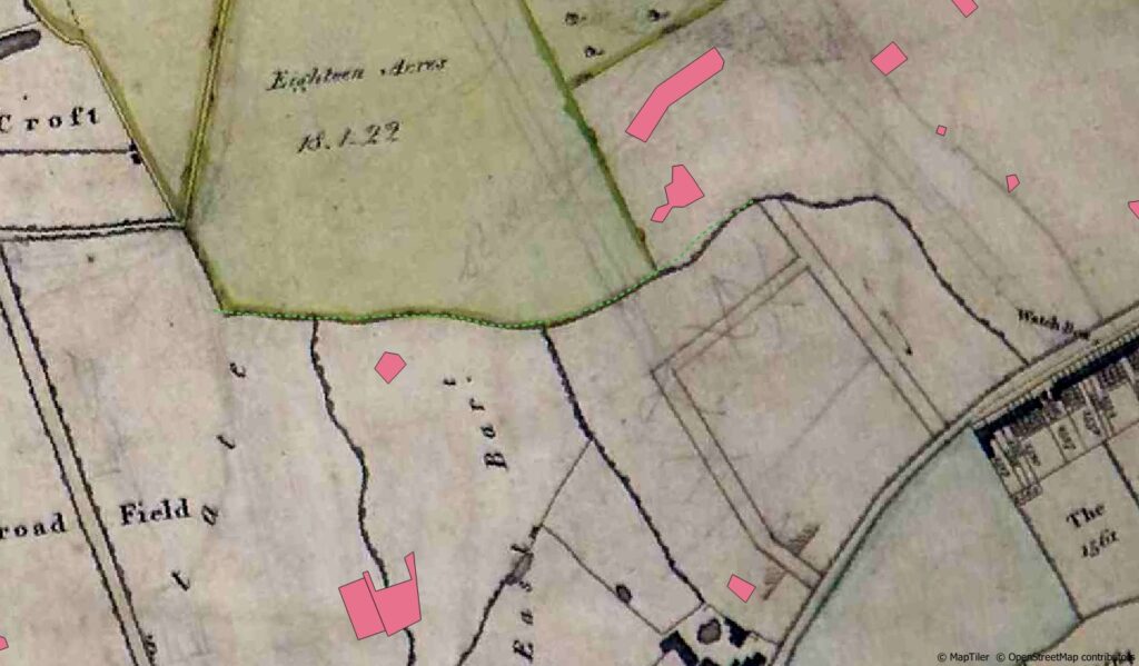
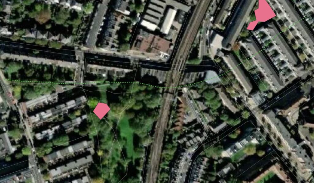
1893 town map with footpath in dashed green, and 2020 open spaces in pink:
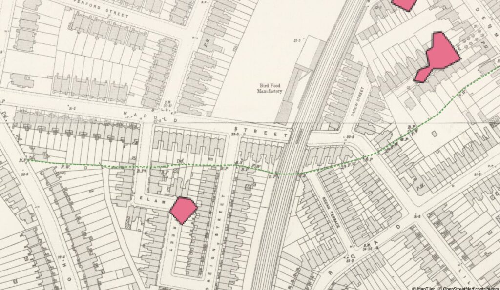
satellite view with footpath in the east now built over
1806 Lambeth enclosure map – extract of Minet estate
Railton Road estate on Angell estate 1806 enclosure map:
1893 five feet to mile: