The Orb knew their local history. The track listing of this EP/video release reads like a VCH chapter list. Or a Hookland list of folklore.
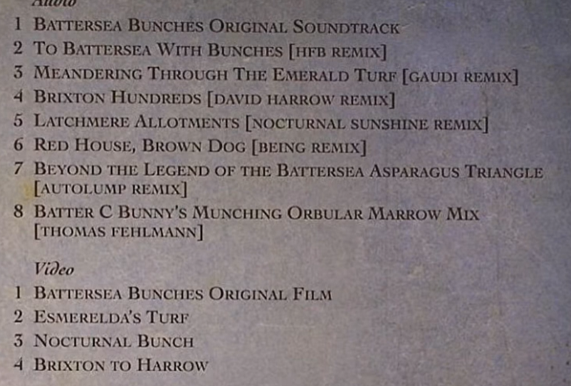
This is old market garden territory. Asparagus bundles. Cabbages. Mangle Wurzle. Turf.
Common rights. Customary profits a prendre. Searching for this layer underneath the Victorian layer of municipal buildings and later 20th century public housing. And a very 1980s leisure centre.
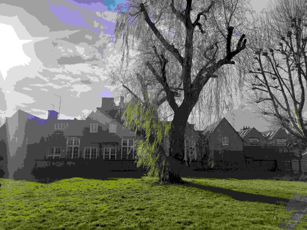
Latchmere recreation ground, with the old school in the background, in the early spring sun, 3 March 2026.
This is a walk around Latchmere recreation ground, formerly the allotments.
Municipal Dreams, aka John Boughton, among others, has written about the history of the social housing at Latchmere Estate: https://municipaldreams.wordpress.com/2013/01/01/the-latchmere-estate-battersea-happy-healthy-homes-for-sober-and-industrious-workmen/
Owen Hatherley, too, writes about the estate in his book Red Metropolis, noting the extraordinary situation of Battersea, where Progressives dominated the new council at the turn of the twentieth century and sought to lead the London County Council. By 1913, the borough had a Black mayor, originated from the estate, and Latchmere too supported a Communist MP to election in 1922. This was a real radical locale of the sort I keep coming across.
By contrast, I’m interested in the former allotment sites because of enclosure riots there in the late 1830s, with links to Swing, the breaking down of the old poor law, issues around welfare, manorial and parish administration, public space, the baths, and for the longer duree history of the whole area as a potentially radical locale.
I started walking from Clapham Junction, and up Lavender Hill and Latchmere Road, which was interesting in itself.
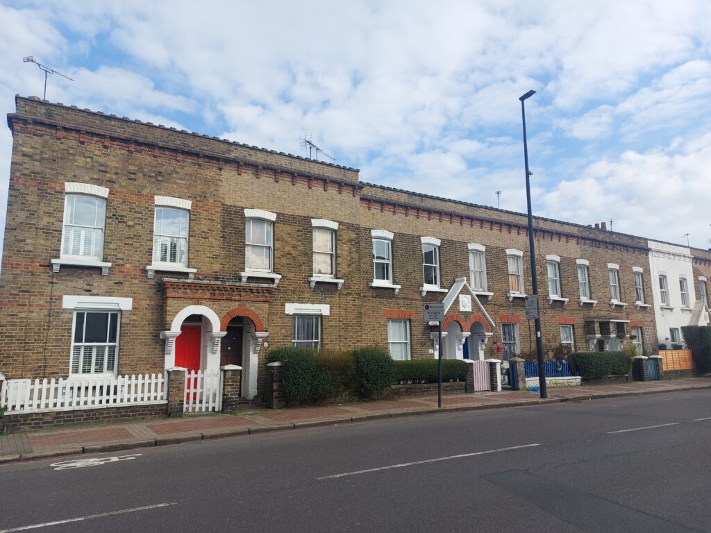
Latchmere Road
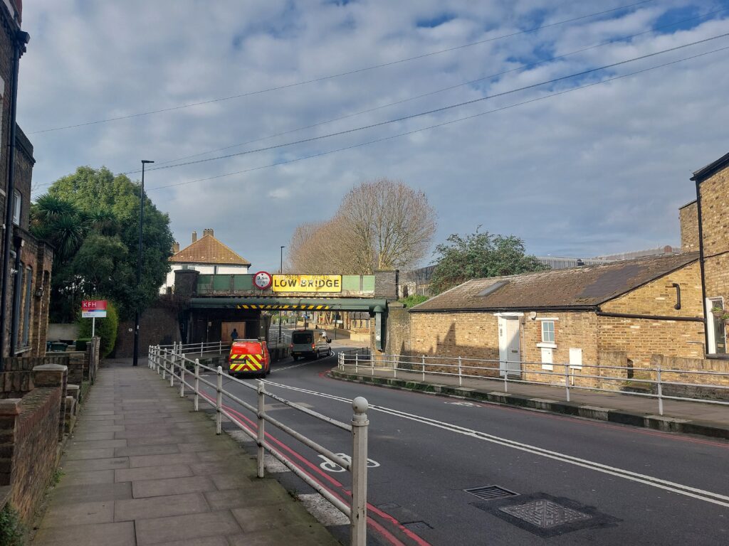

A cool house and garden on the other side of the railway bridge from Latchmere baths.
At Latchmere baths, originally built on Latchmere allotments by Battersea Corporation. Now very of its time (1983) leisure centre, with some retro camper vans living alongside:
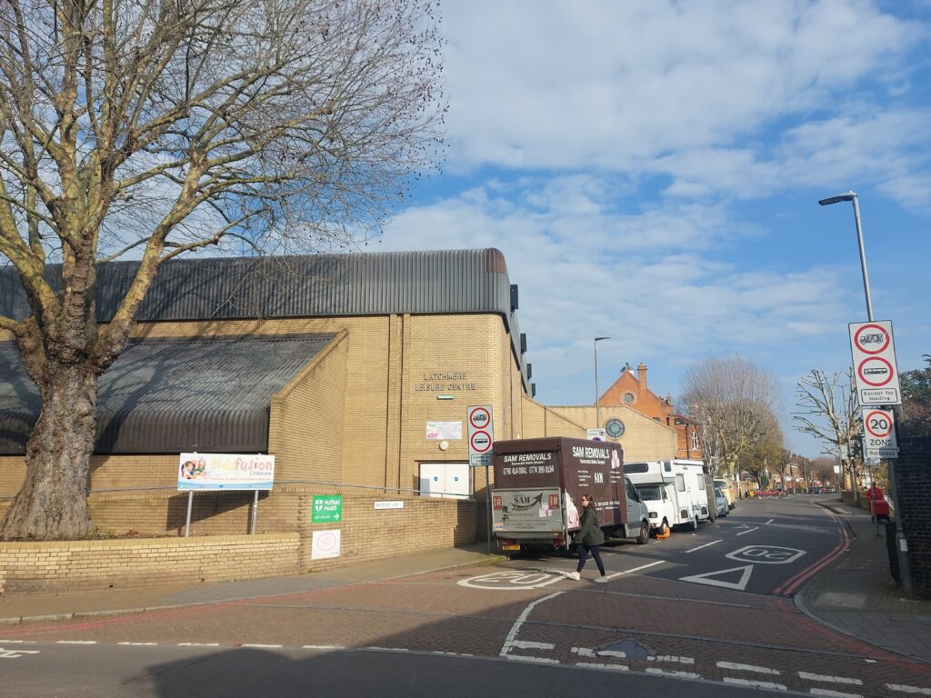
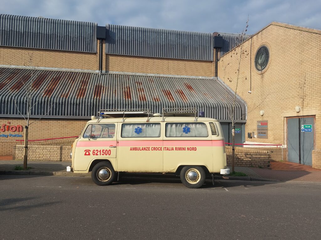
Survey of London: https://www.ucl.ac.uk/bartlett/sites/bartlett/files/49.1._public_buildings_chapter.pdf, p.39: “A revised scheme designed by R. Child, Wandsworth’s Borough Architect, was then built at a cost of around £5 million by G.E. Wallis & Sons Ltd and Norwest Holst Construction Ltd, and opened in July 1983. …A further phase with a sports hall and ten squash courts followed in 1985.”
Survey of London: short section on Latchmere common, pp. 50-53:
https://www.ucl.ac.uk/bartlett/sites/bartlett/files/49.5._parks_and_open_spaces_chapter.pdf
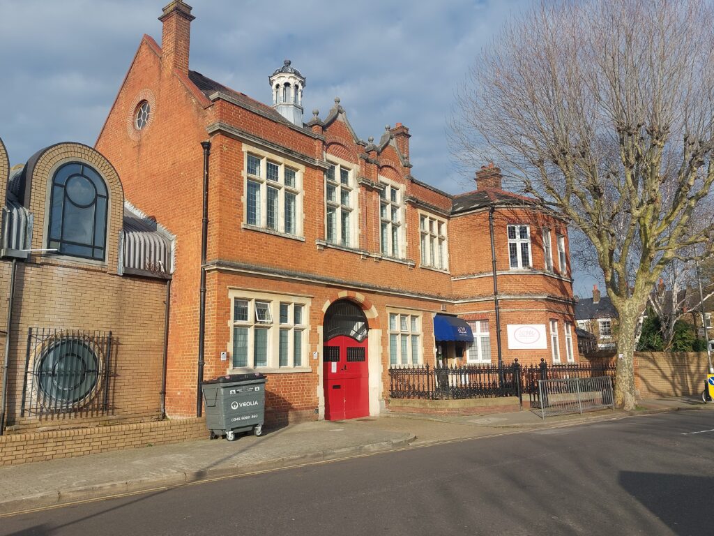
Former coroner’s court and public mortuary buildings, now a nursery (!), and the 1980s baths extension on Sheepcote Lane.
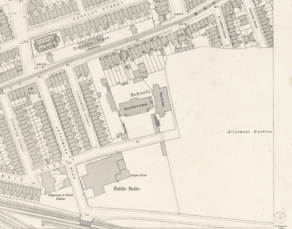
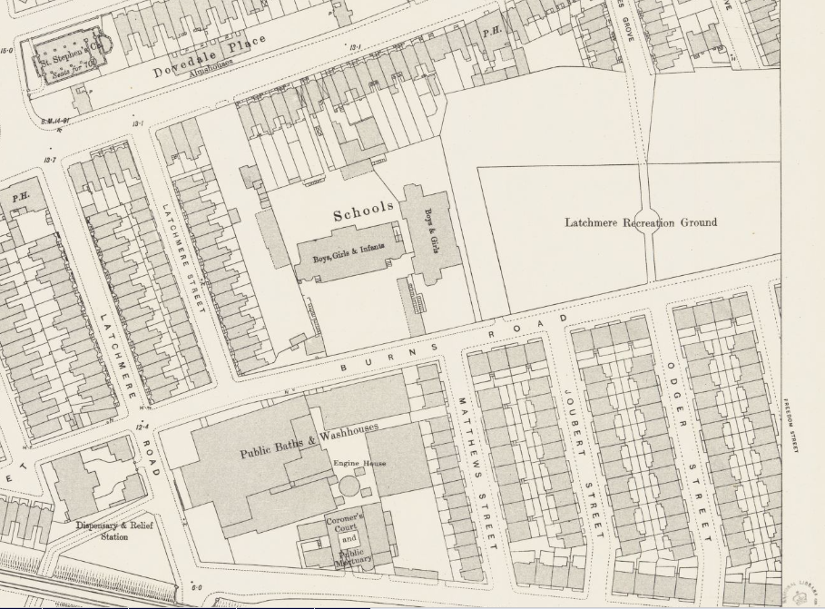
1895 London Town Plan: https://maps.nls.uk/view/101202042
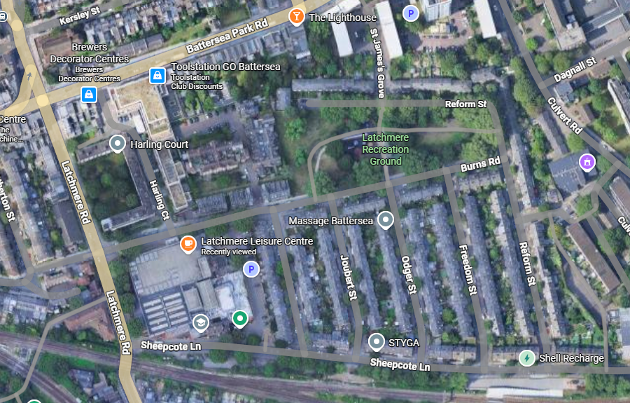
1919 London Town Plan: https://maps.nls.uk/view/231272475
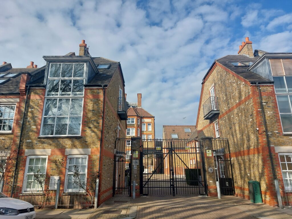
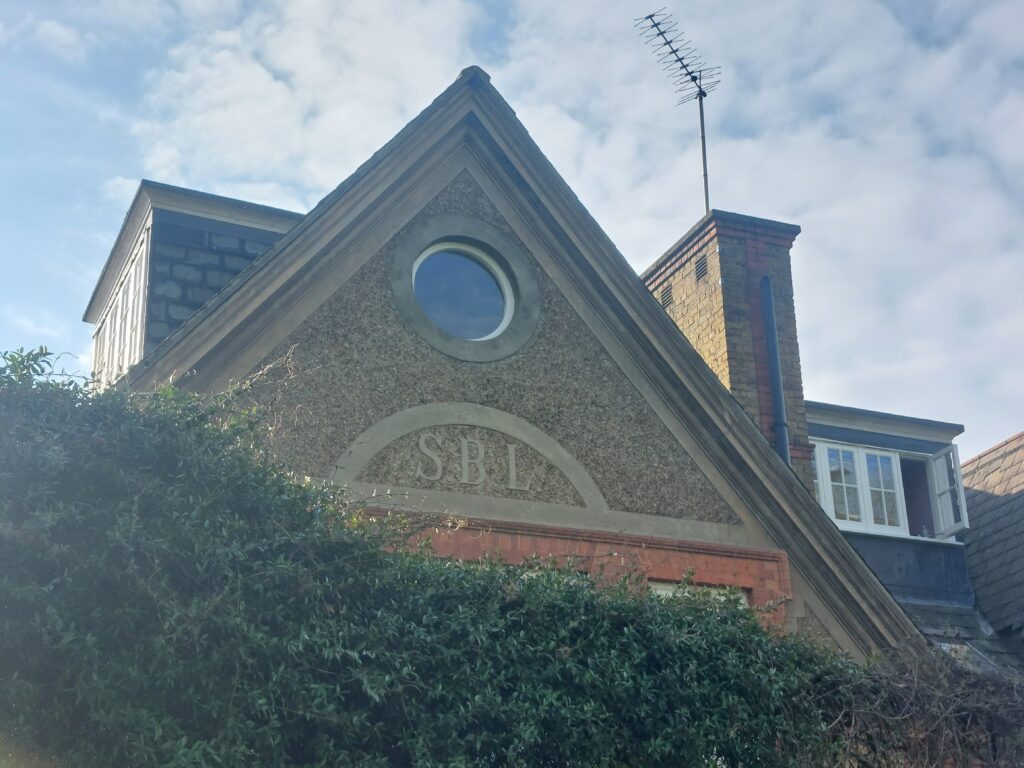
The old Latchmere London Board School is a large site. It is now all flats, with some (2000s?) mock flats on the front as well.
Some observations on Latchmere recreation ground:
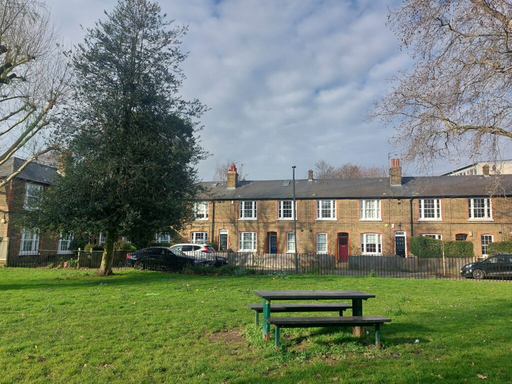

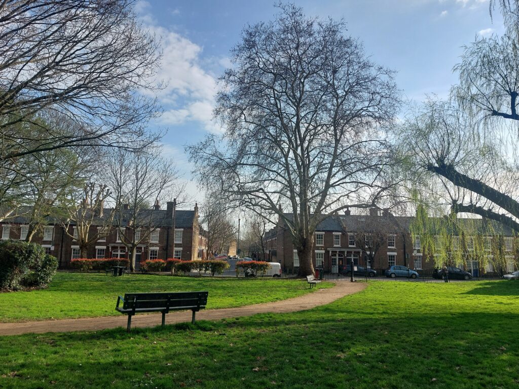
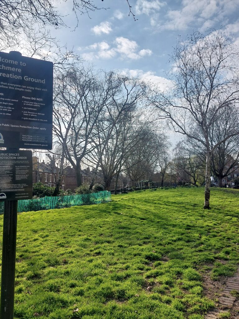
The recreation ground is divided into two by a path and waist high railings. It is enclosed on all sides by the 1890s/1900s housing, like a large quad. One side of the recreation ground, by the school, was relatively flat, and violets were poking up among the grass. The other side was hilly (building rubble?) and rougher.
The air smelled strongly of malt. Can it be coming all the way from Sam Brooks?
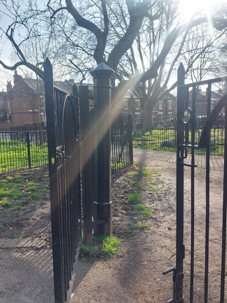
All the streets are named after the local dignitaries who authorised their building, e.g. Burns. There are also ‘Freedom’ and ‘Reform’ roads. Many are maisonettes with double front doors. There’s an air of 70s tropical in this light with the palm trees. Very quiet, emphasised by the electric cars creeping up behind.
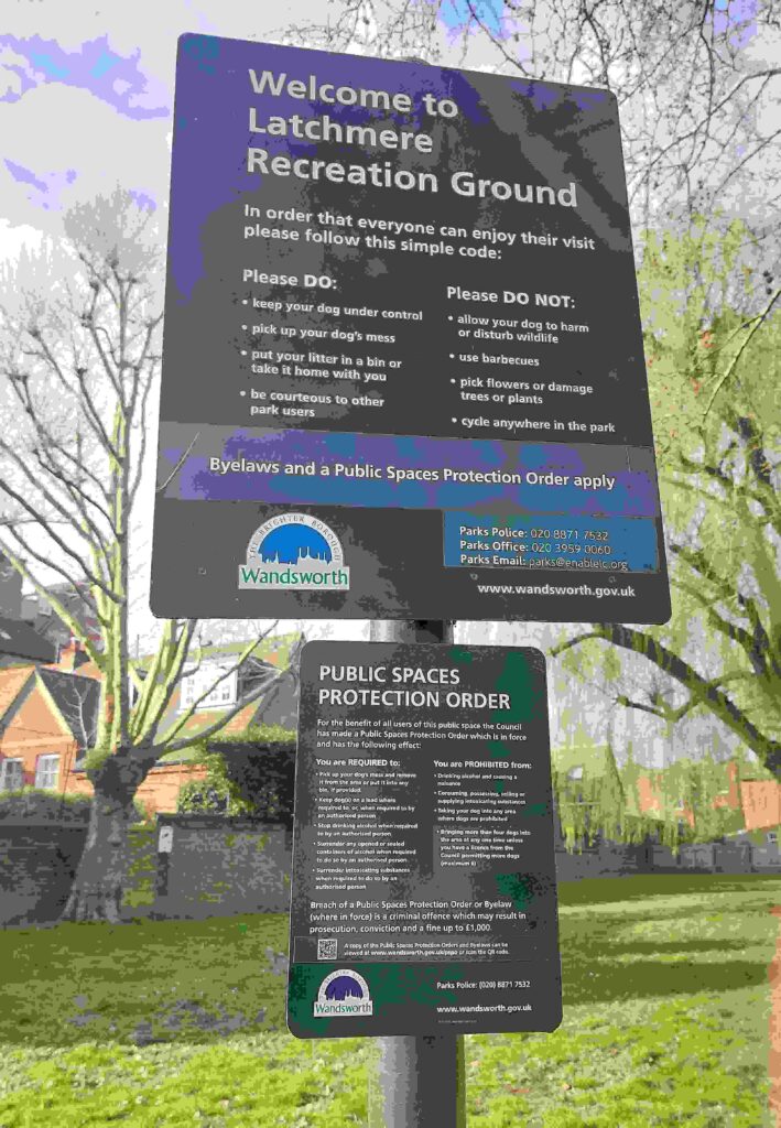
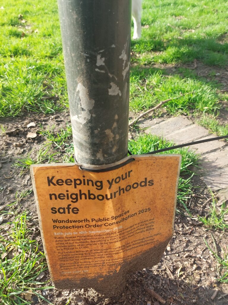
Here are the obligatory photos of the Public Space Protection Orders1. Here are the palimpsests of layers of bye-laws, regulations on what people can and cannot do in public space. My persistent question of who are the public in public space. The underlying theme of most of my work on public space is the enclosure of the commons, especially its transformation through legislation into parks and recreation grounds through railings and gates, regulated by bylaws and PSPOs, and enforced by wardens and security guards.
An odd mix of gentrification, given the cost of the houses now around Lavender Hill, mixed with the old saarf London of Clapham Junction and the extensive council estates still around.
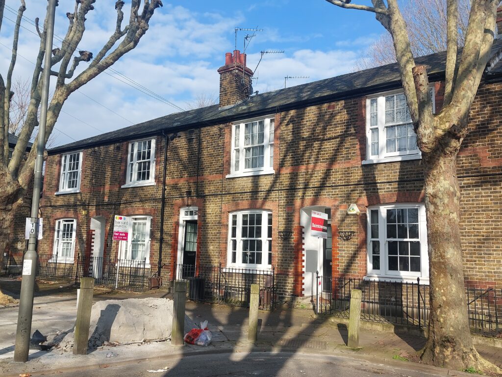
Some houses for sale around Latchmere Recreation Ground:
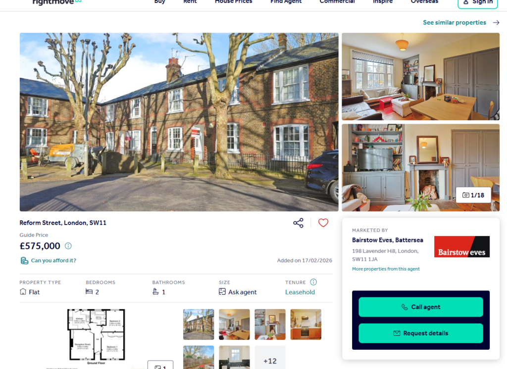
Hence the BMW parked outside the house on the other corner, by the former school.
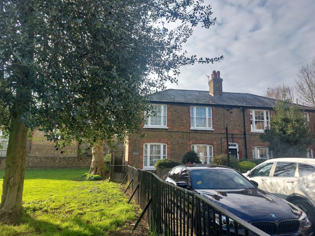
Houses built in the late 1890s, under a reforming Battersea council and philanthropic MP John Burns, by council workers, using council made bricks, for the working classes, on former commons that had been enclosed under the 1831 Poor Relief Act to provide allotments for food for the workhouse and to let out to provide income to pay for the poor outside the old poor relief system.
I am unpeeling these layers of manorial, parish and municipal authority land and welfare.
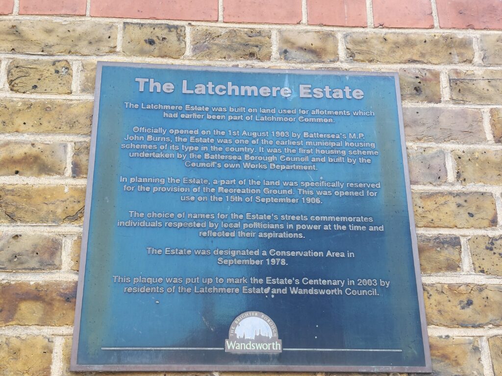
Conservation Area statement: https://www.wandsworth.gov.uk/media/1604/latchmereplusappraisalplusms.pdf
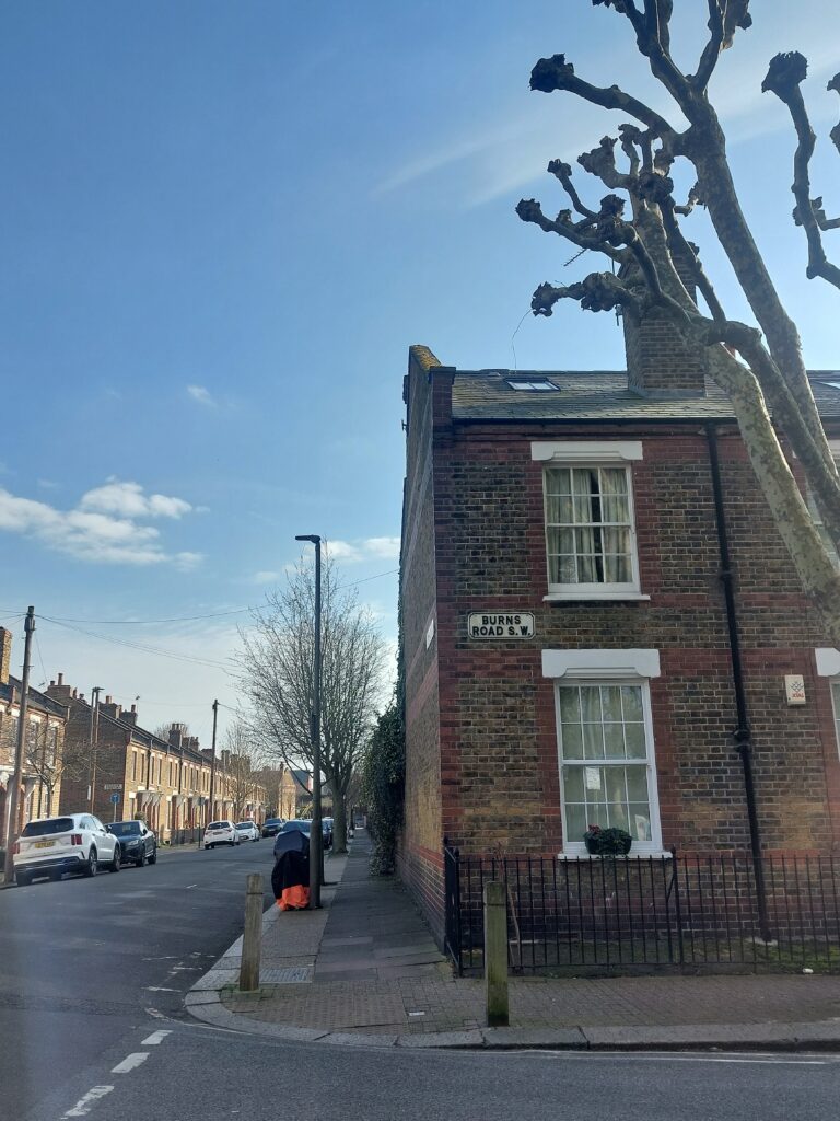
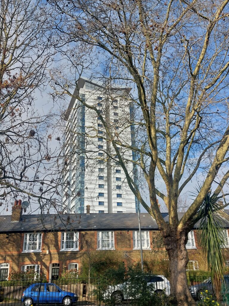
Old and new social housing. Tower block clad in Trespa.
The railway is a dominant presence, with the bridge and viaduct ever present in the middle distance at the end of the streets. Interestingly, it is inter-twined in the vestry minutes, asking for land at the same time as the enclosure dispute.
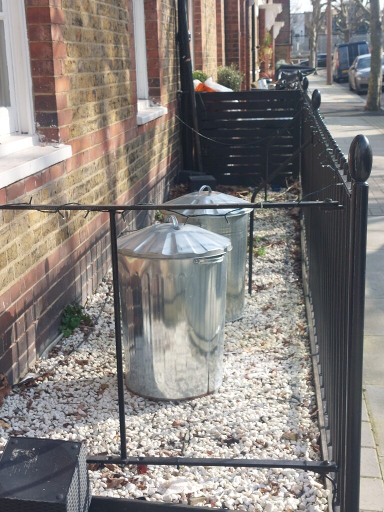
Obligatory photo of local bins. One of the few council areas that use old school dustbins, not wheelie bins (SIDE NOTE: the area around the Oval, Kennington, does as well. See photo below from a previous derive from 20 March 2025, another beautiful spring day. What is it about my radical locales that still use old bins?) I’ll have to go back to see the finished gasholder conversions.
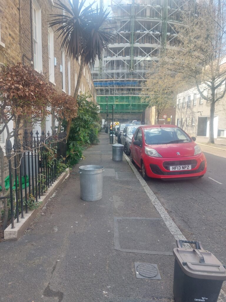
Anyway, back to Battersea:
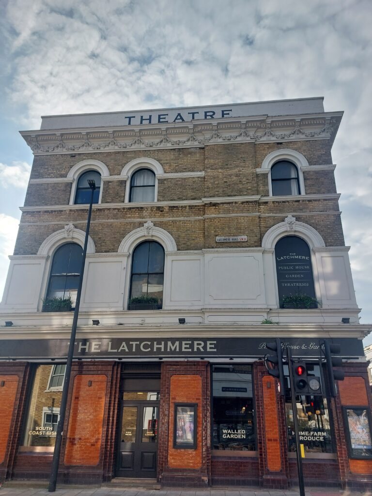
The Latchmere pub. Clearly gentrified with its ‘south coast fish, walled garden (aka a beer garden?) and home farm produce’. Theatre had a show from Donbas artists.
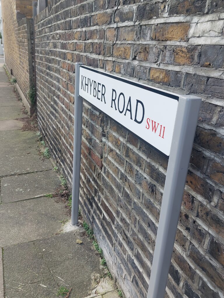
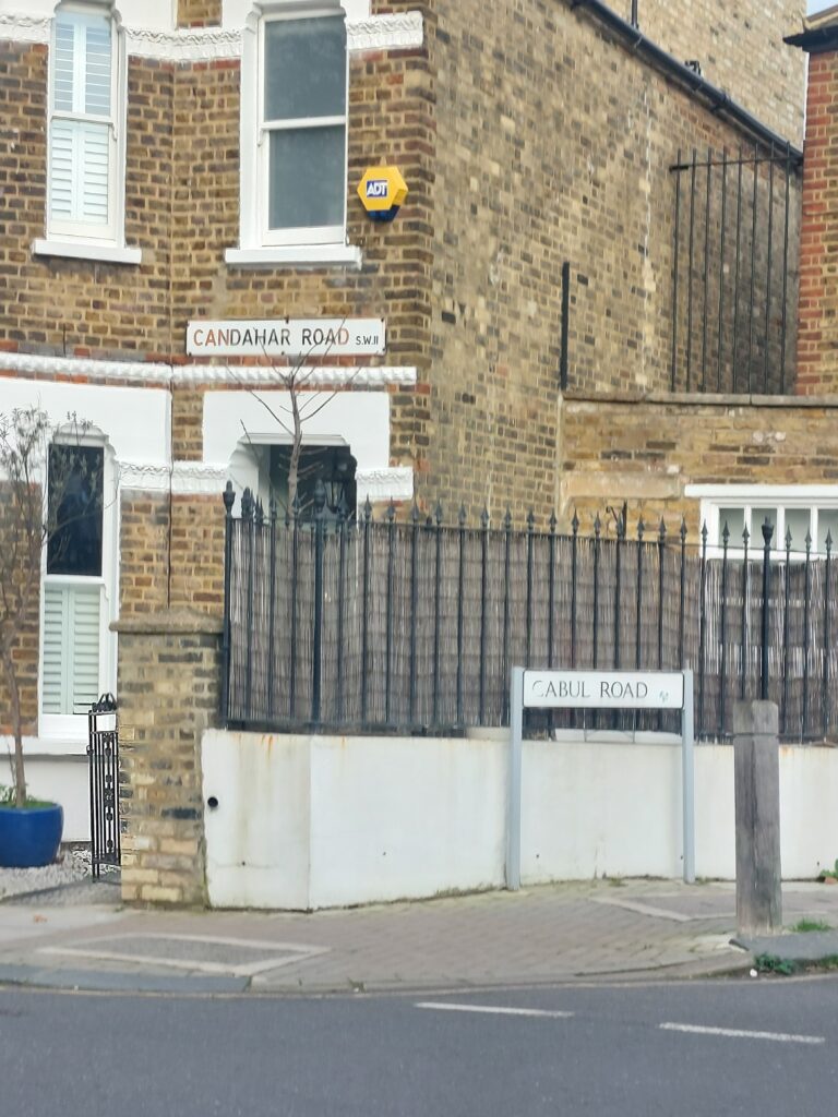
Walking back towards Clapham Junction station, I took a detour through the streets named after sites during the Second Afghan War (1878-1881). It was less gentrified here; more densely packed. Rather ironically, an army helicopter flew overhead at exactly that moment. I didn’t have my phone out, but if I had filmed the scene, the sight and sound of it would have looked cliched, especially given the current situation (the USA has just started bombing Iran).
Just before getting my train home, I stopped by a bourgeois coffee shop on Lavender Hill, offering all sorts of cold-washed coffee in your choice of pour-over, cold-brew, or siphon. Watching the street scene, I saw a man coming up the side street. He was dressed all in black, in a peacoat, collar popped, shiny black shoes, beret, grey hair peeking under, and wearing thick white rimmed rectangular sunglasses. Like a timeslip from 1982. The real Clapham Junction. He turned on to the main road by the post-office and then disappeared from view. Looking round to the two young couples sitting in the cafe, drinking their oatmeal lattes and eating gluten free cakes, I sank back into 2026.
- Brown, Kevin J. “The Hyper-Regulation of Public Space: The Use and Abuse of Public Spaces Protection Orders in England and Wales.” Legal Studies 37, no. 3 (2017): 543–68. https://doi.org/10.1111/lest.12175. ↩︎