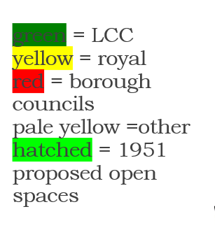
trial map of Chartist and other sites:
Blog posts:
http://historyofpublicspace.uk/2018/02/22/locales-kennington/
https://historyofpublicspace.uk/2018/04/10/kennington-common-commemorations-10-april-2018/
Kennington Park, 20 March 2025

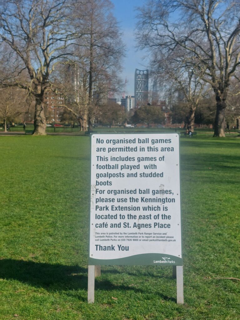
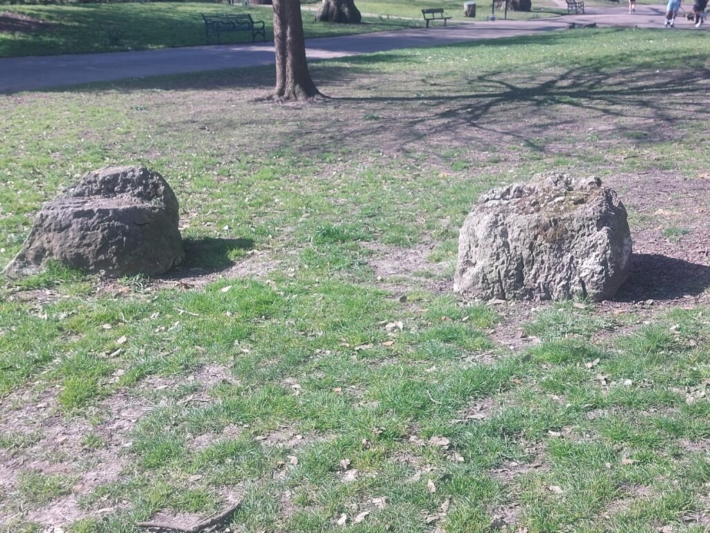

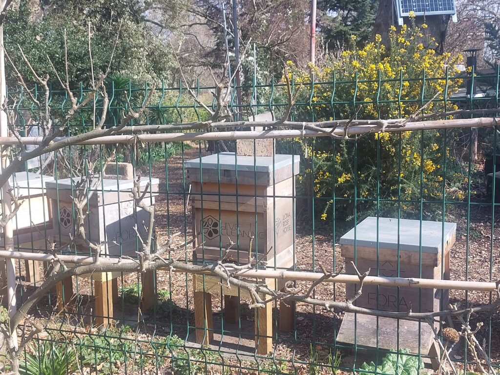




Maps: https://maps.nls.uk/view/229950491
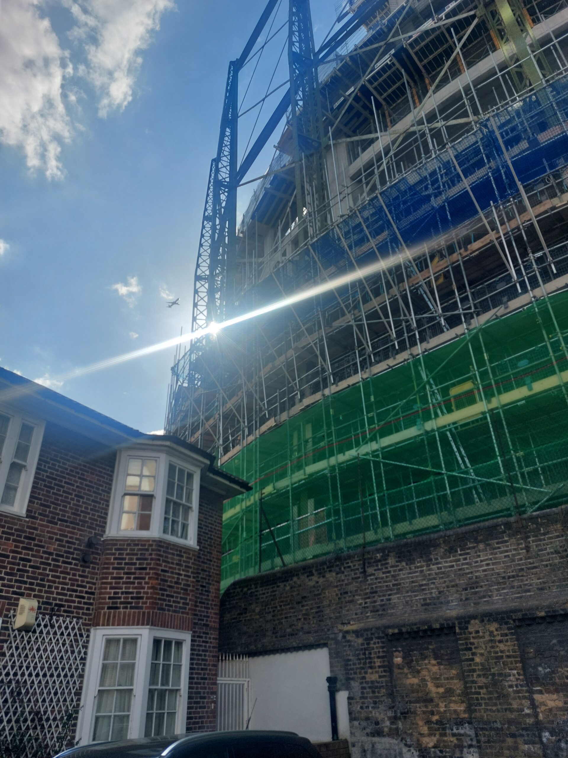
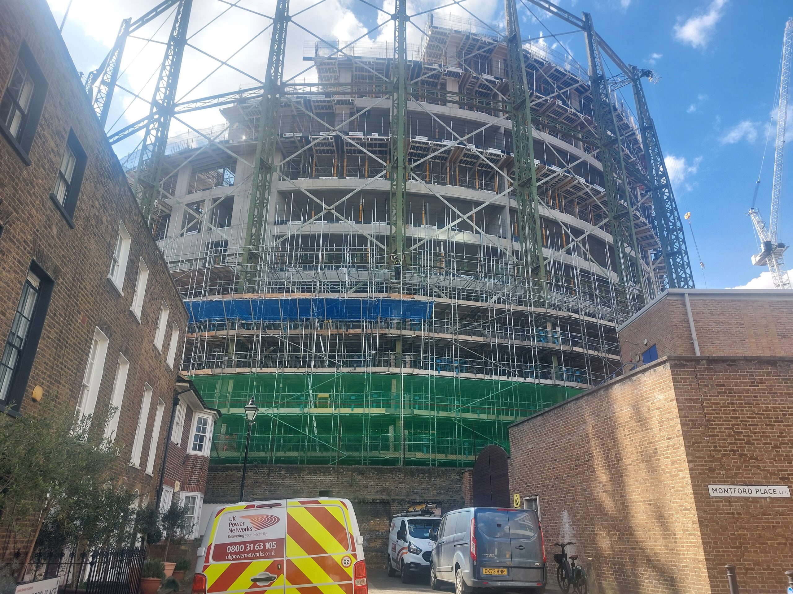
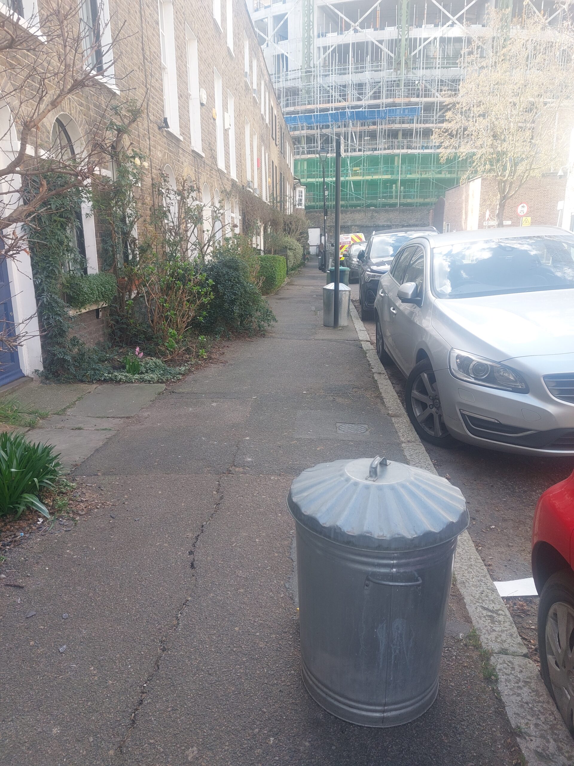
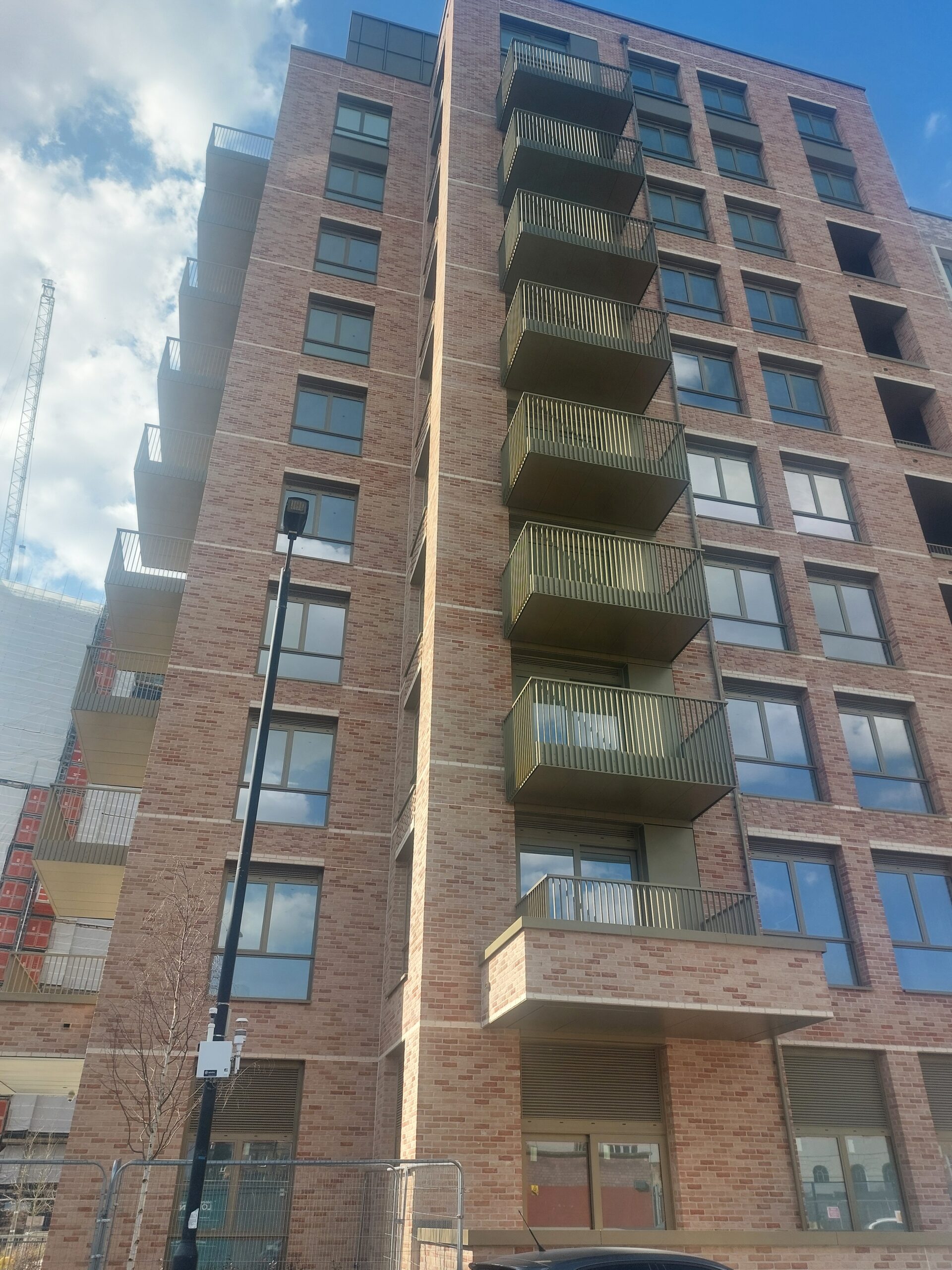
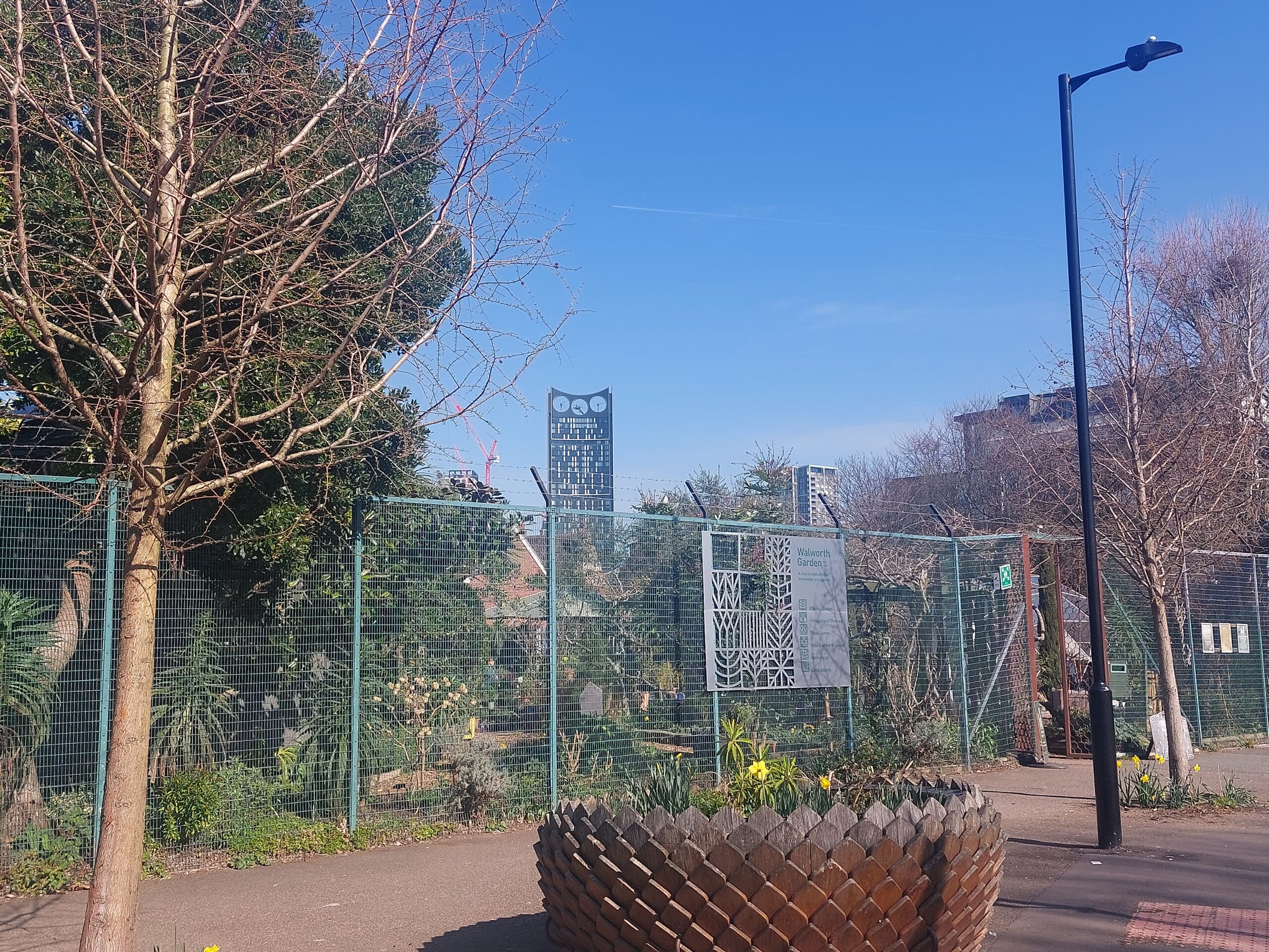
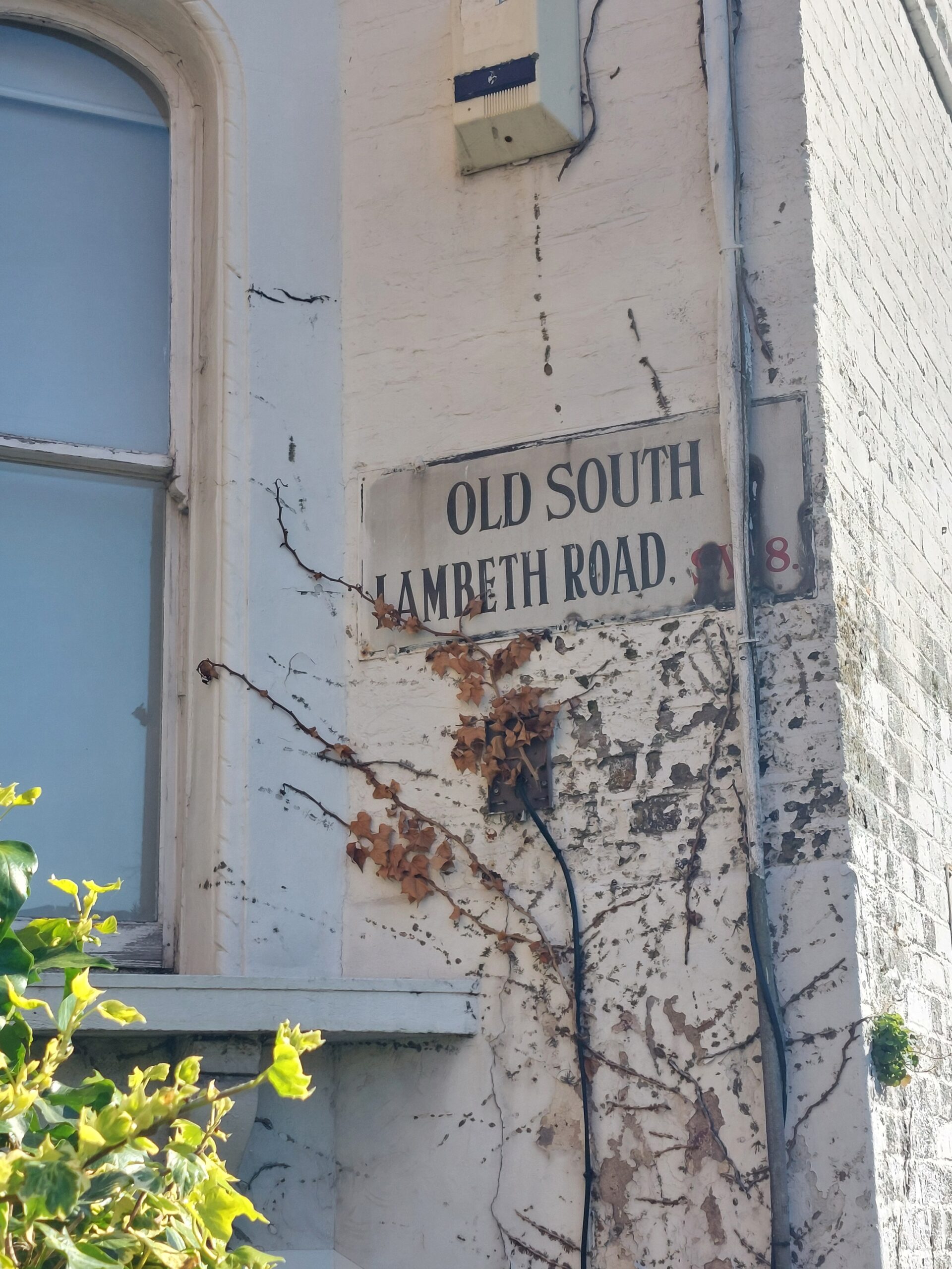
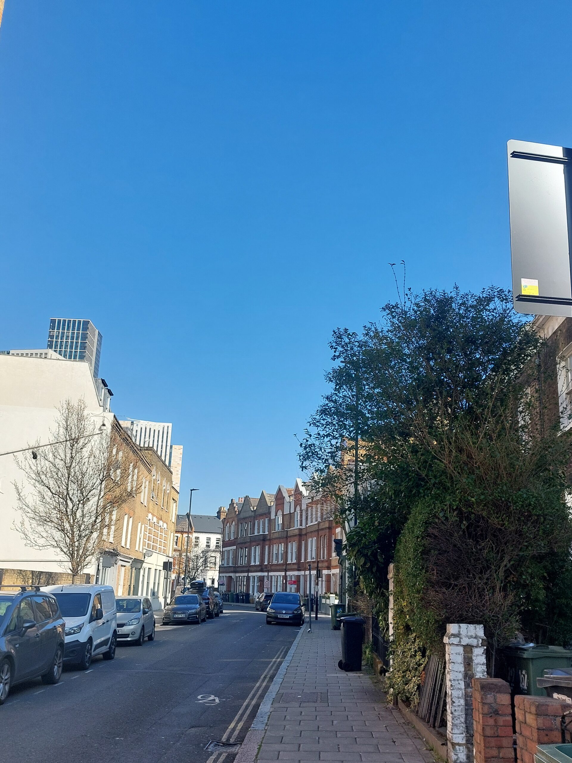
A walk around Oval, Kennington and Vauxhall, 20 March 2025:



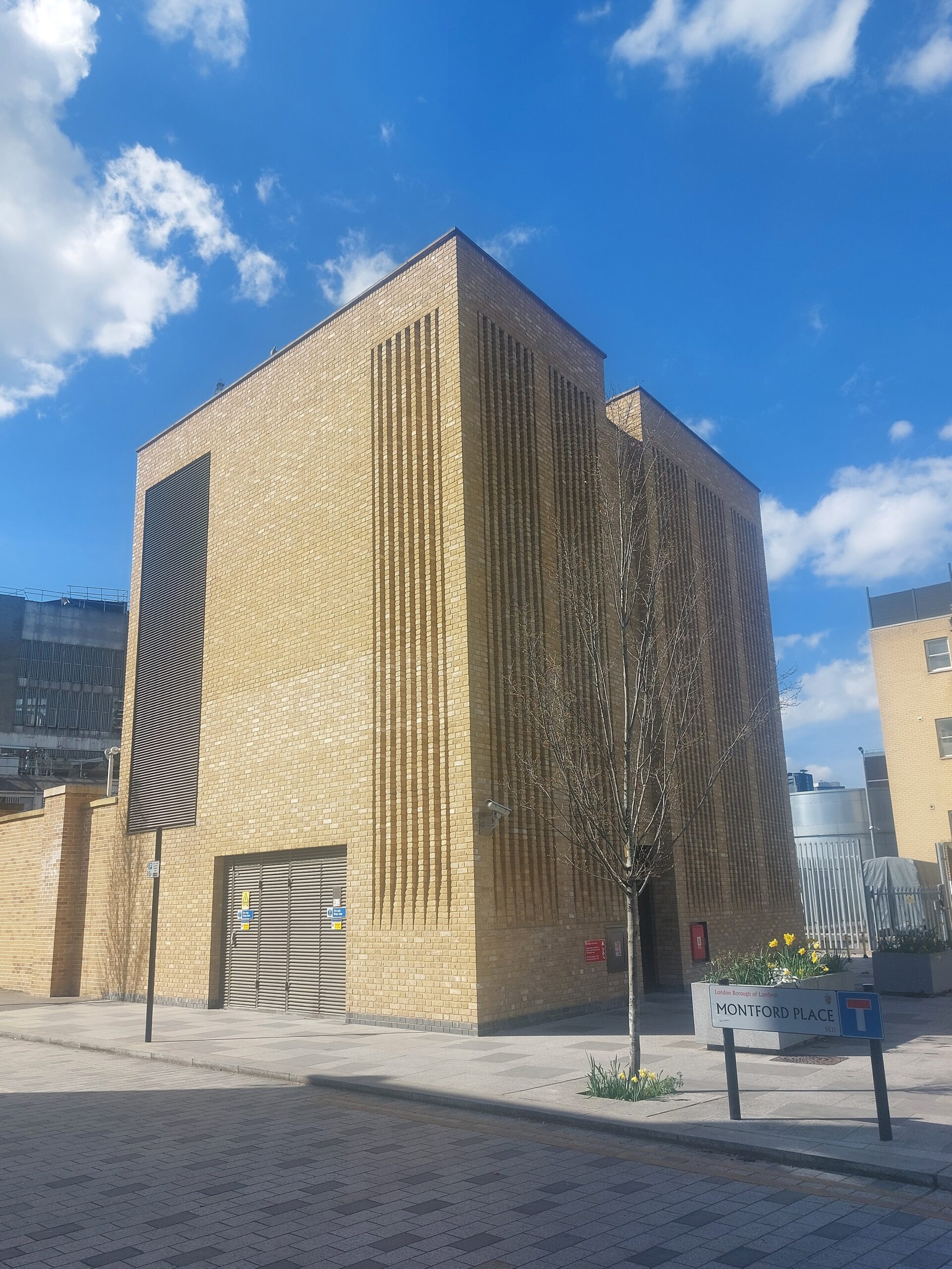
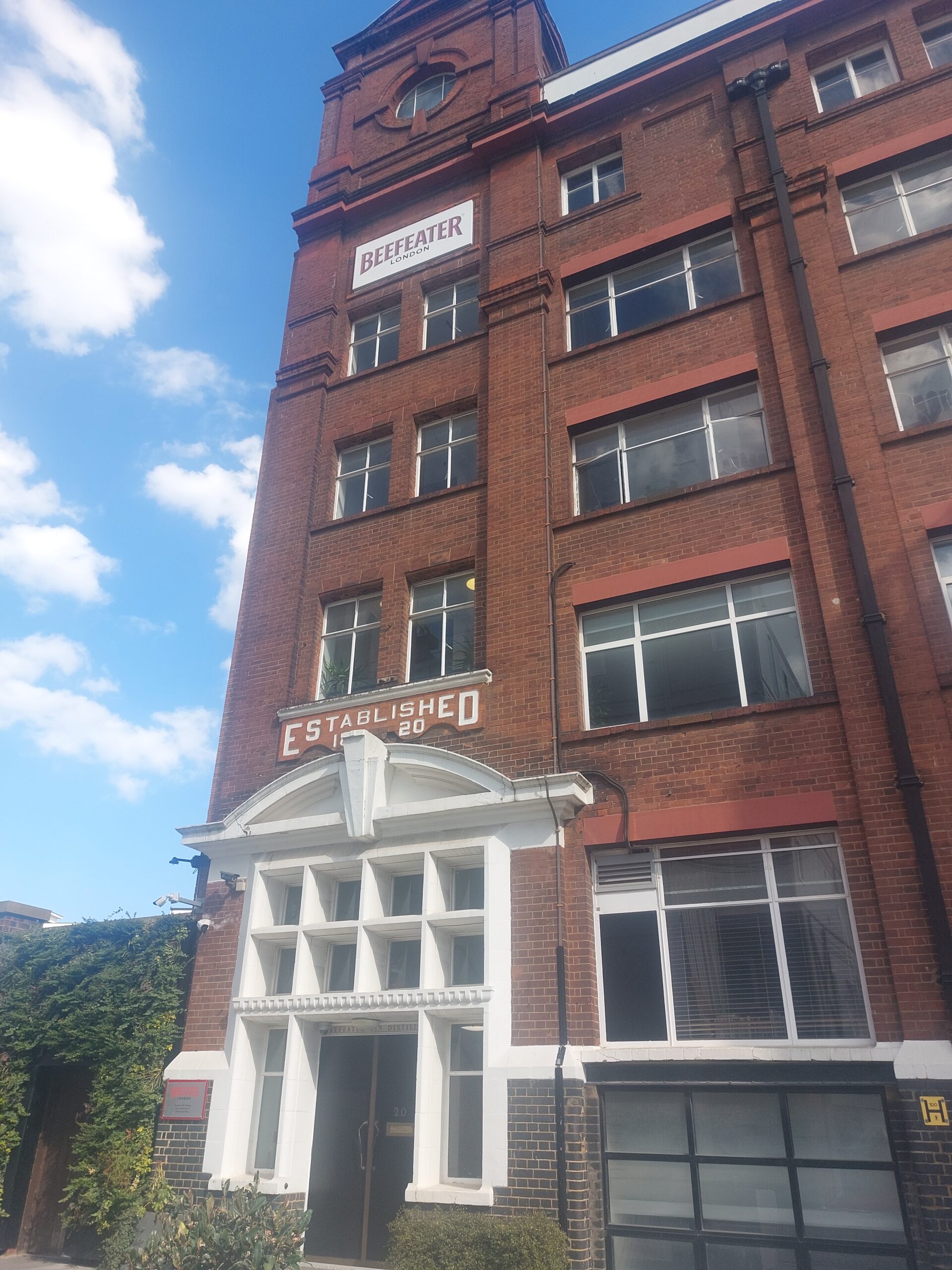
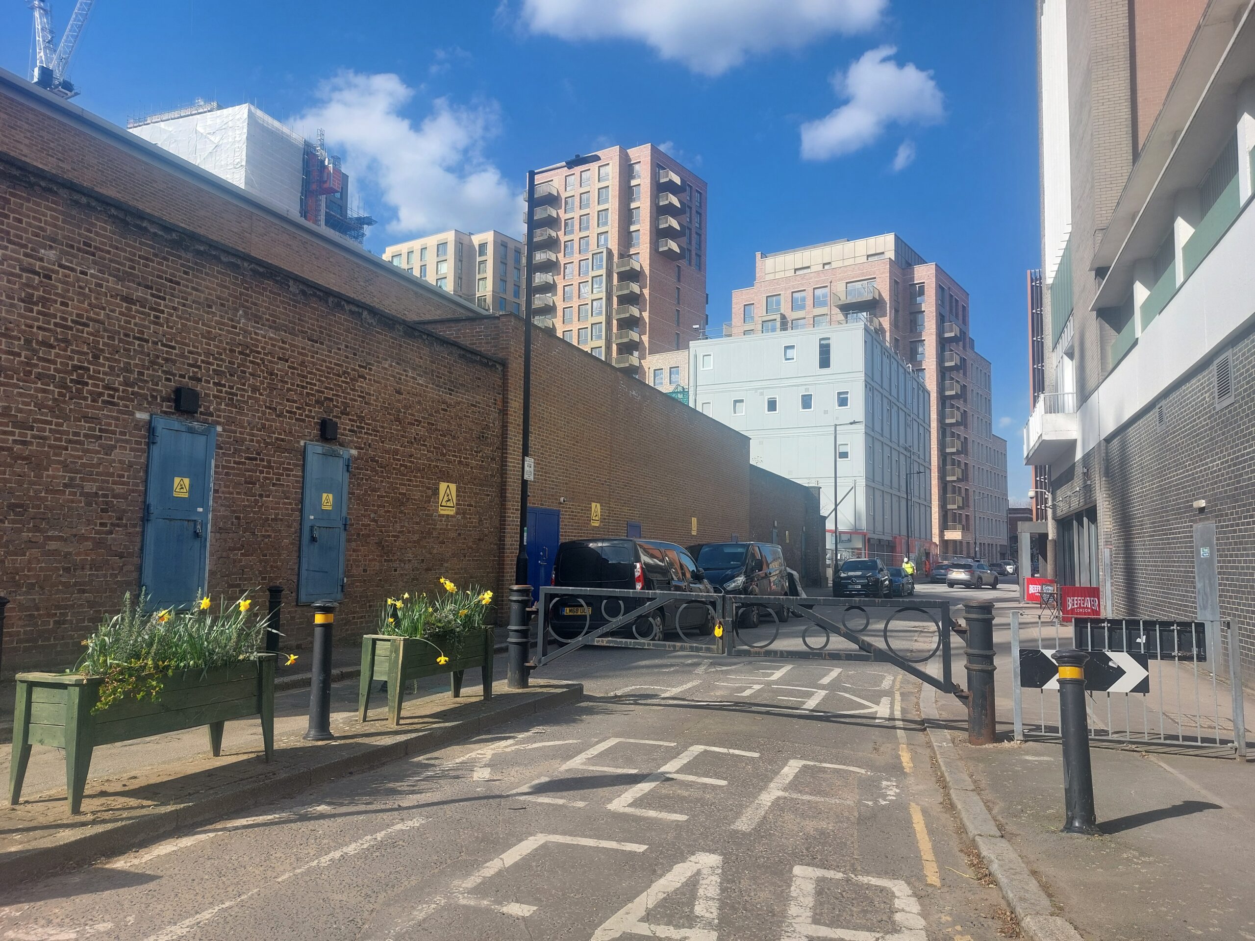


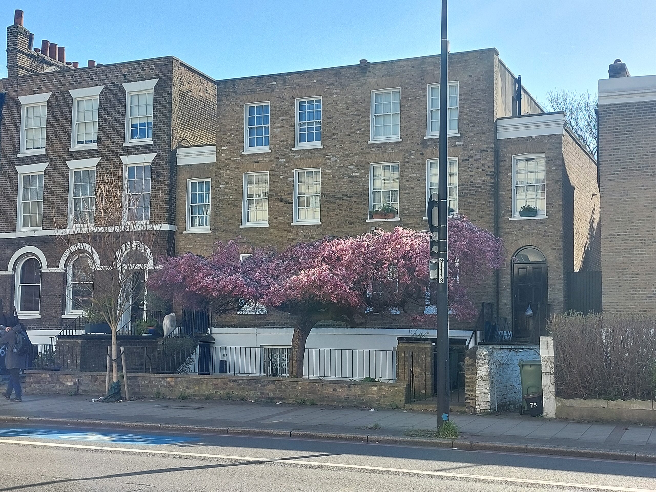


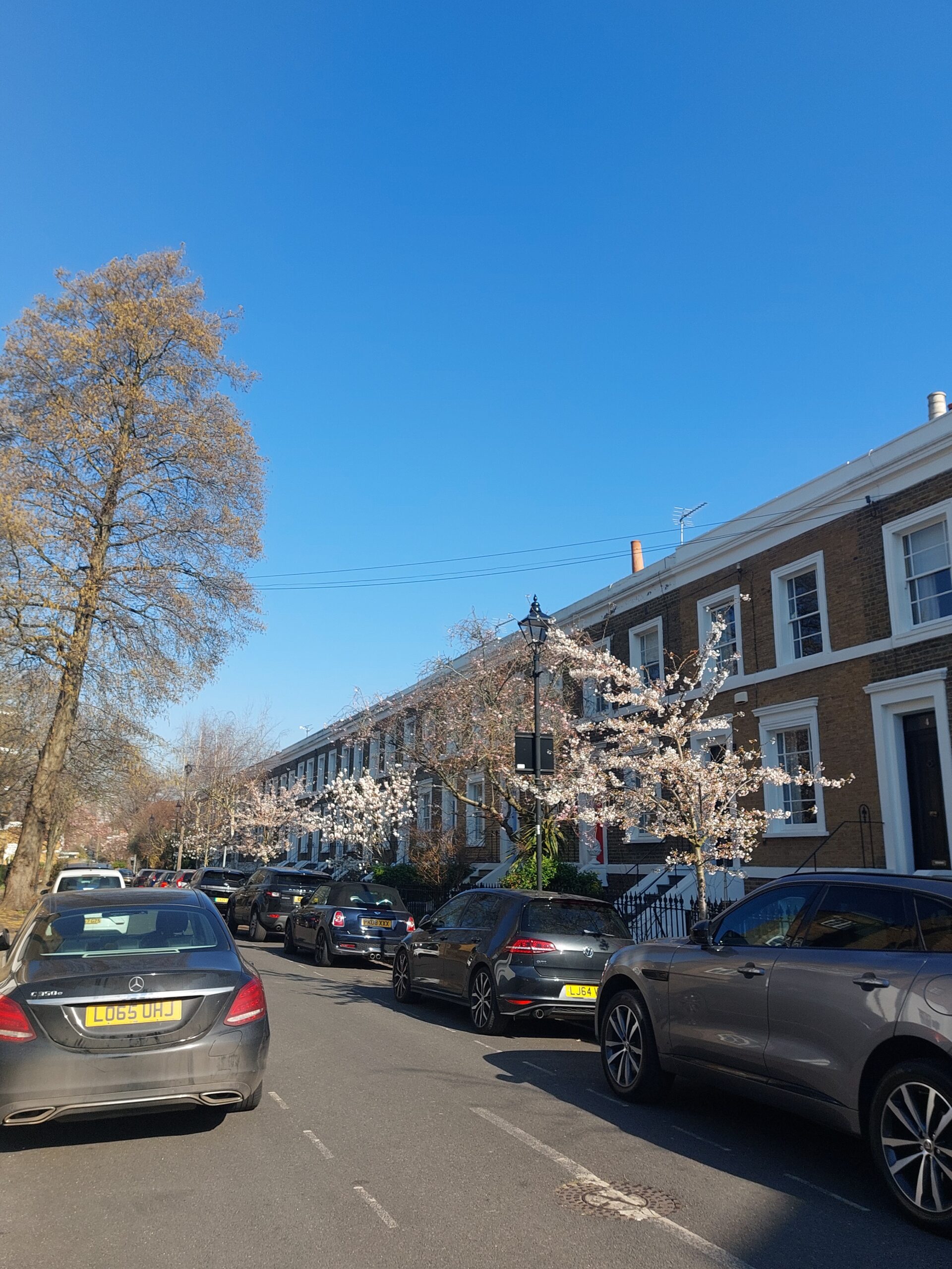

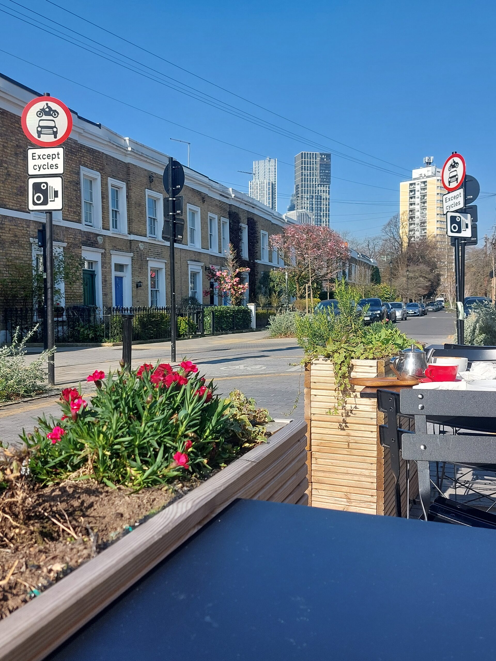

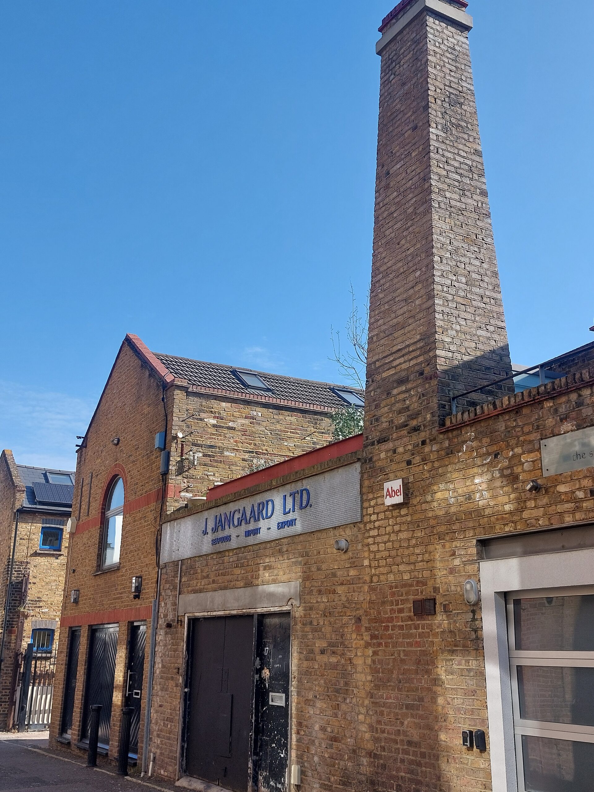

South London Land Plan subscribers
Kennington Chartist Project page: http://www.kenningtonchartistproject.org/research/
Maps of Kennington Common and St Agnes Place:

Lambeth enclosure map, 1805, overlain on modern map
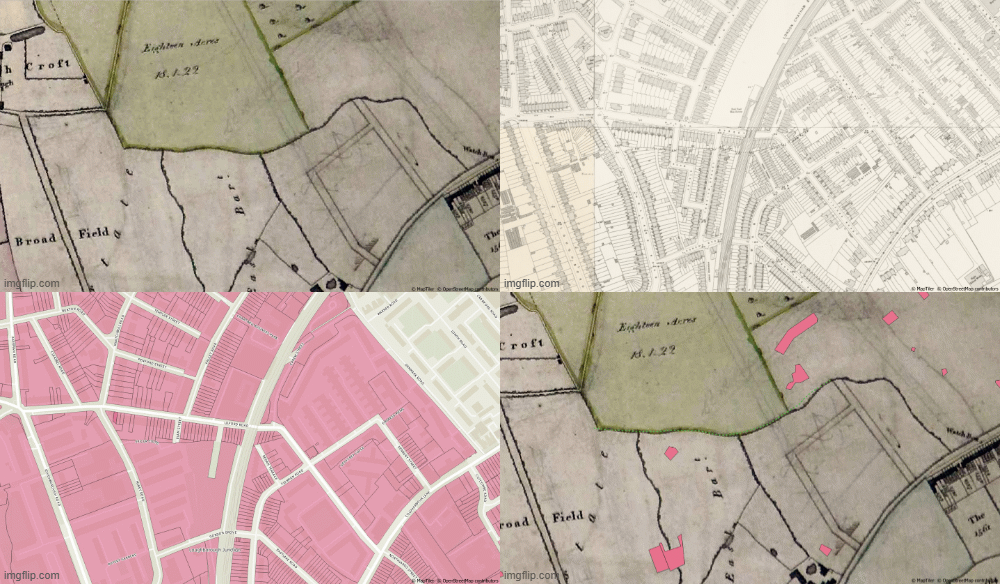
Lambeth enclosure map 1806 with overlays from 1893, and modern cadastral map
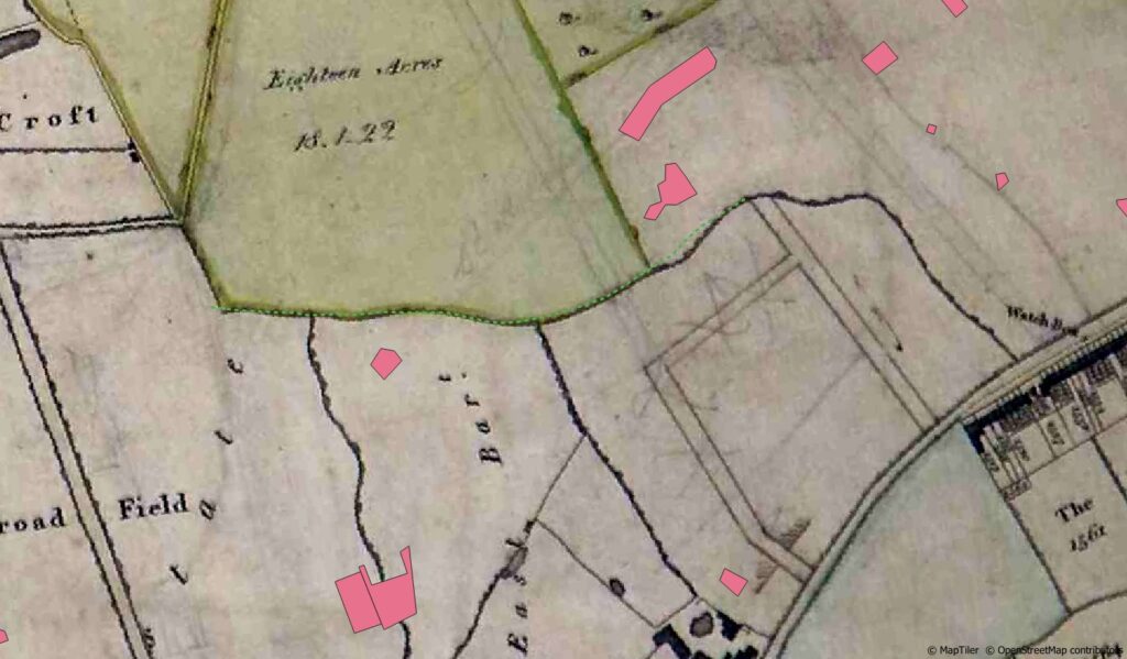

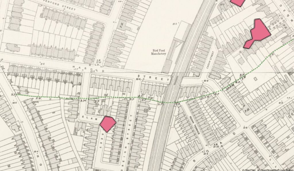
1893 OS map five feet to mile with footpath marked in green, following the line of the old field boundary

satellite image with the former footpath in green. The pink shapes are registered greenspace
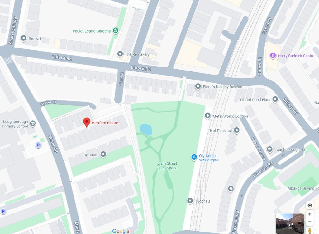

Lambeth council estate landholding (yellow) and greenspaces (pink) layered on 1806 Lambeth enclosure award map

London planned open spaces, 1951

London open spaces 1939
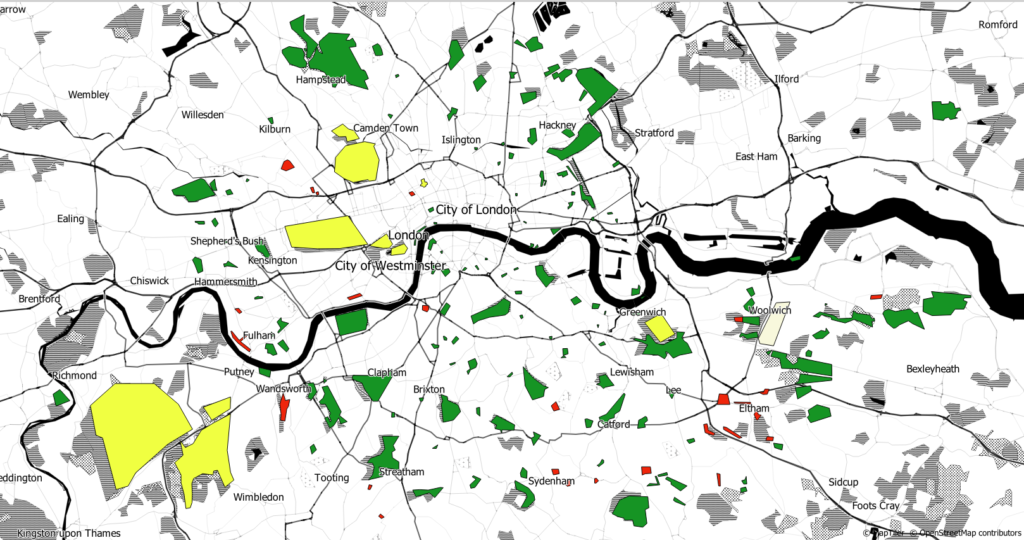
London open spaces 1961